
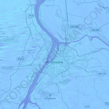
Carte topographique Astrakhan
Carte interactive
Cliquez sur la carte pour afficher l’altitude.
À propos de cette carte
Nom : Carte topographique Astrakhan, altitude, relief.
Altitude moyenne : -21 m
Altitude minimum : -30 m
Altitude maximum : -6 m
Astrakhan (Russian: Астрахань, IPA: [ˈastrəxənʲ] ) is the largest city and administrative centre of Astrakhan Oblast in southern Russia. The city lies on two banks of the Volga, in the upper part of the Volga Delta, on eleven islands of the Caspian Depression, 60 miles (100 km) from the Caspian Sea, with a population of 475,629 residents at the 2021 Census. At an elevation of 28 meters (92 ft) below sea level, it is the lowest city in Russia.
Autres cartes topographiques
Cliquez sur une carte pour visualiser sa topographie, son altitude et son relief.
Astrakhan
Russia > Astrakhan Oblast > Astrakhan > Astrakhan
Astrakhan, Astrakhan Oblast, Southern Federal District, 414000, Russia
Altitude moyenne : -21 m