
Carte topographique Phaktanglung
Carte interactive
Cliquez sur la carte pour afficher l’altitude.
À propos de cette carte
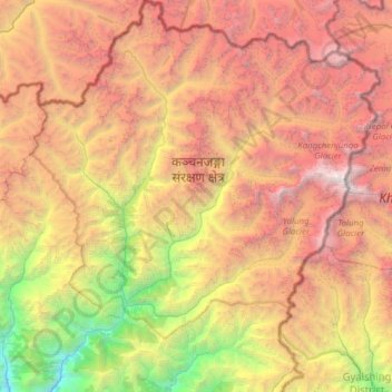
Nom : Carte topographique Phaktanglung, altitude, relief.
Lieu : Phaktanglung, Taplejung, Koshi Province, Nepal (27.40611 87.64986 27.95305 88.20153)
Altitude moyenne : 4 548 m
Altitude minimum : 961 m
Altitude maximum : 8 587 m