
Carte topographique Vinita
Carte interactive
Cliquez sur la carte pour afficher l’altitude.
À propos de cette carte
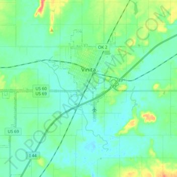
Nom : Carte topographique Vinita, altitude, relief.
Lieu : Vinita, Craig County, Oklahoma, 74301, United States (36.58978 -95.26966 36.66675 -95.12560)
Altitude moyenne : 213 m
Altitude minimum : 200 m
Altitude maximum : 259 m
Vinita is located in northeastern Oklahoma, a region of the state known as Green Country. According to the Vinita Chamber of Commerce, the town is often called the "Crossroads to Green Country." It sits at the base of the Ozark Highlands topographical region in a mix of prairie and forest. It is located in southern Craig County.