
Carte topographique Vellimadukunnu
Carte interactive
Cliquez sur la carte pour afficher l’altitude.
À propos de cette carte
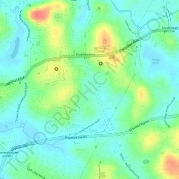
Nom : Carte topographique Vellimadukunnu, altitude, relief.
Lieu : Vellimadukunnu, Kozhikode, Kozhikode District, Kerala, India (11.28006 75.81180 11.29527 75.83377)
Altitude moyenne : 27 m
Altitude minimum : 5 m
Altitude maximum : 69 m
Autres cartes topographiques
Cliquez sur une carte pour visualiser sa topographie, son altitude et son relief.
Mananchira
India > Kerala > Kozhikode > Kozhikode
Mananchira, Palayam, Kozhikode, Kozhikode district, Kerala, India
Altitude moyenne : 12 m
Chalappuram
India > Kerala > Kozhikode > Kozhikode
Chalappuram, Pathaya Pura, Kozhikode, Kozhikode district, Kerala, India
Altitude moyenne : 12 m