
Carte topographique Ribault River
Carte interactive
Cliquez sur la carte pour afficher l’altitude.
À propos de cette carte
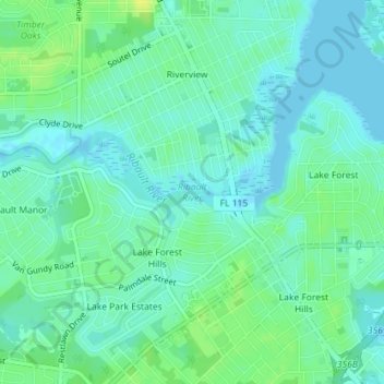
Nom : Carte topographique Ribault River, altitude, relief.
Altitude moyenne : 7 m
Altitude minimum : -2 m
Altitude maximum : 18 m
Ribault River is a tributary of the Trout River. It is located entirely in Jacksonville, Florida. The river is named after Jean Ribault, a French naval officer. The river's headwaters are near Old Kings Road at an elevation of 7 feet (2.1 m) above sea level. The river cuts through the forest floor near its source, that portion of the river being classified as a creek. The river flows northward, as does the St. Johns River and many of the other tributaries of the Trout River. The river is 6.4 miles (10.3 km) long.