
Carte topographique Altweerterheide
Carte interactive
Cliquez sur la carte pour afficher l’altitude.
À propos de cette carte
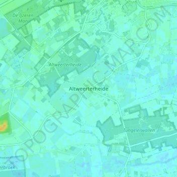
Nom : Carte topographique Altweerterheide, altitude, relief.
Lieu : Altweerterheide, Weert, Limburg, Nederland, 6006 TS, Nederland (51.20015 5.65939 51.24015 5.69939)
Altitude moyenne : 34 m
Altitude minimum : 30 m
Altitude maximum : 52 m
Autres cartes topographiques
Cliquez sur une carte pour visualiser sa topographie, son altitude et son relief.
Swartbroek
Swartbroek, Weert, Limburg, Nederland, 6005 PD, Nederland
Altitude moyenne : 31 m