
Carte topographique Shoe Lake
Carte interactive
Cliquez sur la carte pour afficher l’altitude.
À propos de cette carte
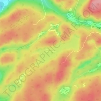
Nom : Carte topographique Shoe Lake, altitude, relief.
Altitude moyenne : 385 m
Altitude minimum : 312 m
Altitude maximum : 429 m
Autres cartes topographiques
Cliquez sur une carte pour visualiser sa topographie, son altitude et son relief.
Ril Lake
Canada > Ontario > Lake of Bays Township > Lake of Bays
Ril Lake, South Ril Lake Road, Lake of Bays Township, District Municipality of Muskoka, Muskoka District, Central Ontario, Ontario, Canada
Altitude moyenne : 361 m