
Carte topographique Partyzanske
Carte interactive
Cliquez sur la carte pour afficher l’altitude.
À propos de cette carte
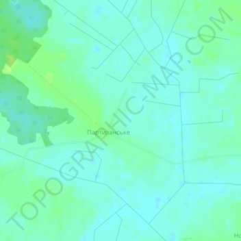
Nom : Carte topographique Partyzanske, altitude, relief.
Lieu : Partyzanske, Kovel Raion, Volyn Oblast, Ukraine (51.03750 24.96231 51.05175 24.99630)
Altitude moyenne : 183 m
Altitude minimum : 178 m
Altitude maximum : 191 m
Partyzanske is located on Crimea's southern shore at an elevation of 362 metres (1,188 ft). The settlement is located 5 km (3.1 mi) southwest from Hurzuf, which it is administratively subordinate to. Its population was 94 in the 2001 Ukrainian census. Current population: 65 (2014 Census).