
Carte topographique Qalb Lawzah
Carte interactive
Cliquez sur la carte pour afficher l’altitude.
Qalb Lawzah
Qalb Loze lies at an elevation of 670 meters in the Idlib Governorate on the A'la Mountain (Jabal Summaq) plateau, a remote hilly region of western central part of the northern Syrian limestone massif, a few kilometers from the Turkish border. The place is near Barisha and is accessible from the main Aleppo-Antakya road by a secondary road that heads northeast. Nearby localities include Qurqania to the south, Kafr Dariyan to the east and Kafr Takharim to the west.
À propos de cette carte
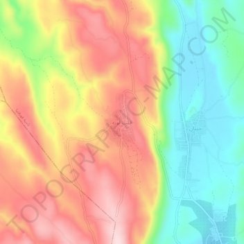
Nom : Carte topographique Qalb Lawzah, altitude, relief.
Altitude moyenne : 590 m
Altitude minimum : 450 m
Altitude maximum : 729 m