
Carte topographique Worland
Carte interactive
Cliquez sur la carte pour afficher l’altitude.
Worland
Worland experiences an arid climate (Köppen BWk), but one which is quite distinct from much of the state. Due to the location within the Big Horn Basin, it is protected from severe weather by the surrounding mountains from nearly every direction. This topography results in weather that is highly continental with frigid and dry winters, little rainfall and few storms.
À propos de cette carte
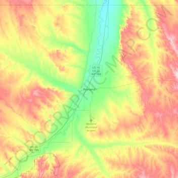
Nom : Carte topographique Worland, altitude, relief.
Lieu : Worland, Washakie County, Wyoming, 82401, United States (43.85685 -108.11577 44.17685 -107.79577)
Altitude moyenne : 1 319 m
Altitude minimum : 1 203 m
Altitude maximum : 1 461 m