
Carte topographique Lake Catherine
Carte interactive
Cliquez sur la carte pour afficher l’altitude.
À propos de cette carte
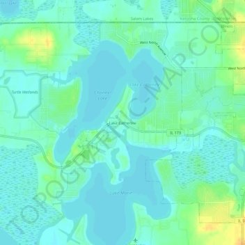
Nom : Carte topographique Lake Catherine, altitude, relief.
Lieu : Lake Catherine, Lake County, Illinois, 60002, USA (42.45919 -88.15342 42.49919 -88.11342)
Altitude moyenne : 229 m
Altitude minimum : 222 m
Altitude maximum : 249 m