
Carte topographique Las Golondrinas
Carte interactive
Cliquez sur la carte pour afficher l’altitude.
À propos de cette carte
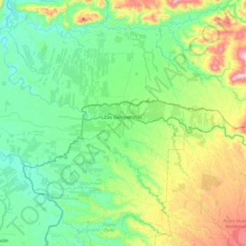
Nom : Carte topographique Las Golondrinas, altitude, relief.
Lieu : Las Golondrinas, Cotacachi, Imbabura, 900004, Ecuador (0.25883 -79.27576 0.36766 -78.90307)
Altitude moyenne : 240 m
Altitude minimum : 41 m
Altitude maximum : 803 m