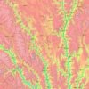
Carte topographique Nyingchi
Cliquez sur la carte pour afficher l’altitude.
À propos de cette carte
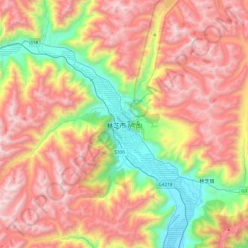
Nom : Carte topographique Nyingchi, altitude, relief.
Altitude moyenne : 4 035 m
Altitude minimum : 2 935 m
Altitude maximum : 5 148 m
Autres cartes topographiques
Cliquez sur une carte pour visualiser sa topographie, son altitude et son relief.
Mainling City
Mainling is located in the central-west of the Nyingtri Prefecture, at the middle reaches of the Yarlung Tsangpo River, and between the Nyenchen Tanglha Mountains and the Himalayan Mountains. It de jure covers an area of 9,490 square kilometres, including the area claimed but de facto under control of the…
Altitude moyenne : 3 611 m

Nyingchi Prefecture
The average elevation of Nyingchi is 3,040 meters (9,974 feet), which is the lowest compared with the other prefectures in Tibet. The relatively low elevation compared to other regions of the Tibetan plateau yields a lower risk of altitude sickness. Guangdong province announced in 2012 that it plans to invest…
Altitude moyenne : 3 457 m
Lhasa
Lhasa prefecture-level city roughly corresponds to the basin of the Lhasa River, a major tributary of the Yarlung Tsangpo. Exceptions are the north of Damxung County, which crosses the watershed of the Nyenchen Tanglha Mountains and includes part of the Namtso lake, and Nyêmo County, which covers the basin of…
Altitude moyenne : 4 866 m