
Carte topographique Fallah Village
Carte interactive
Cliquez sur la carte pour afficher l’altitude.
À propos de cette carte
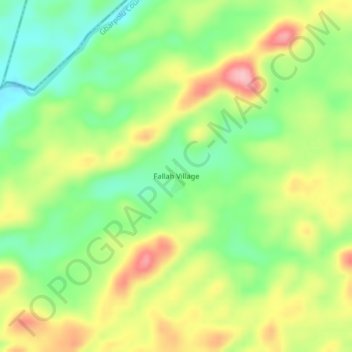
Nom : Carte topographique Fallah Village, altitude, relief.
Lieu : Fallah Village, Koninga, Gbarpolu County, Liberia (7.78740 -10.28844 7.82740 -10.24844)
Altitude moyenne : 452 m
Altitude minimum : 385 m
Altitude maximum : 536 m