
Carte topographique Dena
Carte interactive
Cliquez sur la carte pour afficher l’altitude.
À propos de cette carte
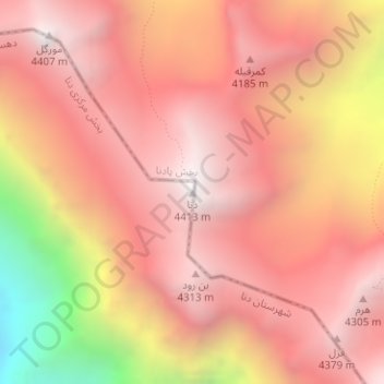
Nom : Carte topographique Dena, altitude, relief.
Altitude moyenne : 3 893 m
Altitude minimum : 2 746 m
Altitude maximum : 4 415 m
Mount Dena has more than 40 peaks higher than 4,000 metres (13,000 feet). With an elevation of 4,409 metres above sea level, Qash-Mastan is the highest peak in the Dena Range and in the Zagros Mountains in general. Another known peak in this range is Hose-Daal close to the city of Sisakht, 30 km (19 mi) to the north of Yasuj.