
Carte topographique Joggin Track Sector A1 Township
Carte interactive
Cliquez sur la carte pour afficher l’altitude.
À propos de cette carte
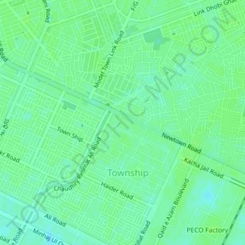
Nom : Carte topographique Joggin Track Sector A1 Township, altitude, relief.
Altitude moyenne : 214 m
Altitude minimum : 208 m
Altitude maximum : 216 m