
Carte topographique Safidon
Carte interactive
Cliquez sur la carte pour afficher l’altitude.
Safidon
The elevation of Safidon is about 221 m (725 ft) above sea level. The fertile land of Safidon paves the way for the growth of crops such as wheat, paddy, sugarcane, millets, pulses, vegetables and fruits; accompanied by well developed irrigation facilities. The groundwater of some villages like Anta, Rampura, Khera Khemawati, Chapper are considered to be the best in Jind district.
À propos de cette carte
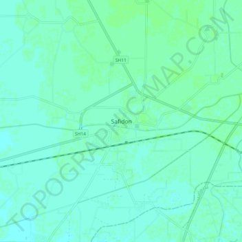
Nom : Carte topographique Safidon, altitude, relief.
Lieu : Safidon, Jind District, Haryana, 125112, India (29.36476 76.61991 29.44476 76.69991)
Altitude moyenne : 235 m
Altitude minimum : 232 m
Altitude maximum : 238 m