
Carte topographique Mühlethal
Carte interactive
Cliquez sur la carte pour afficher l’altitude.
À propos de cette carte
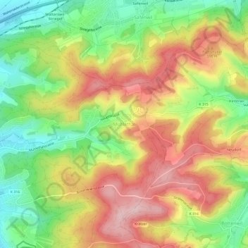
Nom : Carte topographique Mühlethal, altitude, relief.
Lieu : Mühlethal, Zofingen, Bezirk Zofingen, Aargau, 4812, Schweiz (47.28146 7.95959 47.32146 7.99959)
Altitude moyenne : 551 m
Altitude minimum : 438 m
Altitude maximum : 664 m