
Carte topographique Schweriner See
Carte interactive
Cliquez sur la carte pour afficher l’altitude.
À propos de cette carte
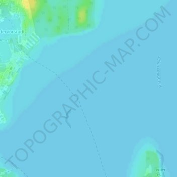
Nom : Carte topographique Schweriner See, altitude, relief.
Altitude moyenne : 36 m
Altitude minimum : 35 m
Altitude maximum : 56 m
Autres cartes topographiques
Cliquez sur une carte pour visualiser sa topographie, son altitude et son relief.
Neu Pampow
Deutschland > Mecklenburg-Vorpommern > Schwerin
Neu Pampow, Schwerin, Mecklenburg-Vorpommern, 19075, Deutschland
Altitude moyenne : 54 m