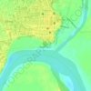
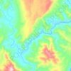
Carte topographique Iguig
Cliquez sur la carte pour afficher l’altitude.
À propos de cette carte

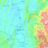
Nom : Carte topographique Iguig, altitude, relief.
Lieu : Iguig, Cagayan, Cagayan Valley, 3504, Philippines (17.71017 121.69538 17.79017 121.77538)
Altitude moyenne : 30 m
Altitude minimum : 7 m
Altitude maximum : 118 m
Autres cartes topographiques
Cliquez sur une carte pour visualiser sa topographie, son altitude et son relief.
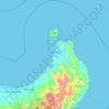
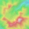
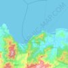



Enrile
Enrile is bounded by hills and mountains both to the north and to the west. Area with low elevation is about 20 meters above sea level at the Eastern part which lies close to the river boundaries. The highest elevation is found Northwest which is approximately 800 meters above sea level.
Altitude moyenne : 52 m