
Carte topographique Grandfather Mountain State Park
Carte interactive
Cliquez sur la carte pour afficher l’altitude.
Grandfather Mountain State Park
Grandfather Mountain rises 5,964 feet above sea level, and due to the considerable elevation gain the mountain boasts 16 distinct ecological communities. The mountain is famous for its rugged character, and is home to many hidden caves and significant cliffs.
À propos de cette carte
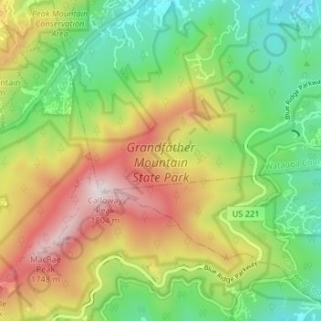
Nom : Carte topographique Grandfather Mountain State Park, altitude, relief.
Altitude moyenne : 1 293 m
Altitude minimum : 949 m
Altitude maximum : 1 789 m