

Carte topographique Mount Natib
Cliquez sur la carte pour afficher l’altitude.
Mount Natib
Mount Natib is a stratovolcano type of volcano topped by a 6-by-7-kilometre (3.7 by 4.3 mi) acorn-shaped Natib Caldera that is open to the northwest. East of its caldera is the smaller 2-kilometre (1.2 mi) wide Pasukulan Caldera. The highest peak of Mount Natib has an elevation of 1,253 metres (4,111 ft) asl and is at the point of convergence of the two calderas. The caldera complex has an overall base diameter of 26 kilometres (16 mi).
À propos de cette carte
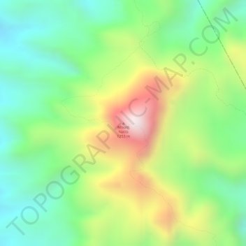
Nom : Carte topographique Mount Natib, altitude, relief.
Altitude moyenne : 846 m
Altitude minimum : 579 m
Altitude maximum : 1 241 m
Autres cartes topographiques
Cliquez sur une carte pour visualiser sa topographie, son altitude et son relief.

