

Carte topographique Stratford
Cliquez sur la carte pour afficher l’altitude.
Stratford
According to Lewis's Topographical Dictionary of 1837, Stratford-upon-Slaney was at that time a market town in the barony of Upper Talbotstown 2¼ miles north north east of Baltinglass. At that time the town had 2,833 inhabitants. In 1837 Orr and Co. bought the factory from the Stratford family. It employed about 1,000 people and turned out about 2,000 finished pieces per week. The factory had a canal that brought water directly to the wheel and it was seen as the best wheel in Ireland, the factory was fitted quite ideally for manufacturing of cotton.
À propos de cette carte
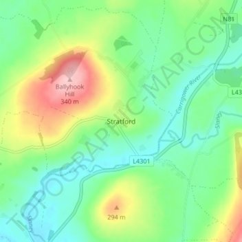
Nom : Carte topographique Stratford, altitude, relief.
Altitude moyenne : 174 m
Altitude minimum : 119 m
Altitude maximum : 288 m