
Carte topographique Brawley
Carte interactive
Cliquez sur la carte pour afficher l’altitude.
À propos de cette carte
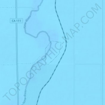
Nom : Carte topographique Brawley, altitude, relief.
Lieu : Brawley, Imperial County, California, United States (33.01551 -115.51818 33.02155 -115.51331)
Altitude moyenne : -44 m
Altitude minimum : -55 m
Altitude maximum : -38 m
Brawley is located in the Colorado Desert and Lower Colorado River Valley regions. The city's elevation, like other Imperial Valley towns, is below sea level.