
Carte topographique Taman Sri Jarom Park
Carte interactive
Cliquez sur la carte pour afficher l’altitude.
À propos de cette carte
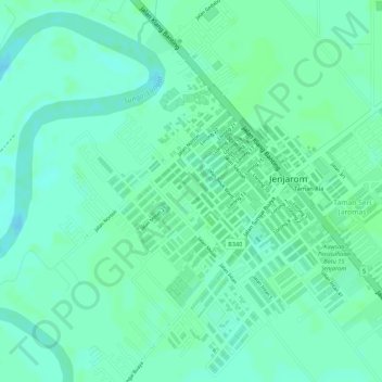
Nom : Carte topographique Taman Sri Jarom Park, altitude, relief.
Altitude moyenne : 5 m
Altitude minimum : -1 m
Altitude maximum : 8 m
Autres cartes topographiques
Cliquez sur une carte pour visualiser sa topographie, son altitude et son relief.
Langat River
Malaysia > Selangor > Klang > Jenjarom
Langat River, Jenjarom, Kuala Langat, Selangor, 42600, Malaysia
Altitude moyenne : 4 m