
Carte topographique Kandovan
Carte interactive
Cliquez sur la carte pour afficher l’altitude.
À propos de cette carte
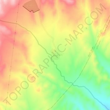
Nom : Carte topographique Kandovan, altitude, relief.
Altitude moyenne : 1 307 m
Altitude minimum : 1 185 m
Altitude maximum : 1 412 m
Autres cartes topographiques
Cliquez sur une carte pour visualiser sa topographie, son altitude et son relief.
Tark
Iran > East Azerbaijan Province > Mianeh County > دهستان کندوان
Tark, دهستان کندوان, بخش کندوان, Mianeh County, East Azerbaijan Province, Iran
Altitude moyenne : 1 508 m