
Carte topographique Maťovské Vojkovce
Carte interactive
Cliquez sur la carte pour afficher l’altitude.
À propos de cette carte
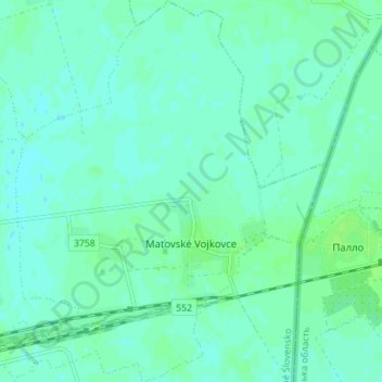
Nom : Carte topographique Maťovské Vojkovce, altitude, relief.
Altitude moyenne : 106 m
Altitude minimum : 102 m
Altitude maximum : 110 m
The village lies at an altitude of 112 metres (367 ft) and covers an area of 12.293 square kilometres (4.746 sq mi). The municipality has a population of about 590 people.
Autres cartes topographiques
Cliquez sur une carte pour visualiser sa topographie, son altitude et son relief.
Lúčky
Slovakia > Region of Košice > District of Michalovce
Lúčky, District of Michalovce, Region of Košice, Eastern Slovakia, Slovakia
Altitude moyenne : 113 m