
Carte topographique Sabalan
Carte interactive
Cliquez sur la carte pour afficher l’altitude.
À propos de cette carte
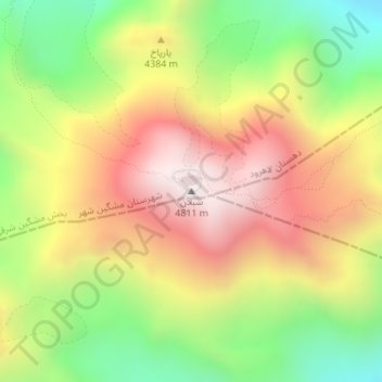
Nom : Carte topographique Sabalan, altitude, relief.
Altitude moyenne : 4 281 m
Altitude minimum : 3 756 m
Altitude maximum : 4 802 m
At 4,794 metres (15,728 ft) in elevation, it is the third-highest mountain in Iran. It has a permanent crater lake formed at its summit. On one of its slopes around 3,600 metres (11,800 ft) in elevation there are large rock formations of eroded volcanic outcrops that resemble animals, birds, and insects.