
Carte topographique Isthmus of Tehuantepec
Carte interactive
Cliquez sur la carte pour afficher l’altitude.
À propos de cette carte
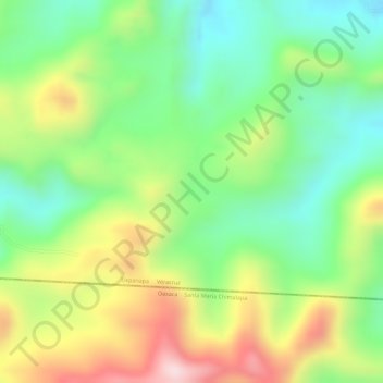
Nom : Carte topographique Isthmus of Tehuantepec, altitude, relief.
Lieu : Isthmus of Tehuantepec, Uxpanapa, Veracruz, Mexico (17.17358 -94.60054 17.19358 -94.58054)
Altitude moyenne : 277 m
Altitude minimum : 124 m
Altitude maximum : 483 m
At its narrowest point, the isthmus is 200 km (124 mi) across from gulf to gulf, or 192 km (119 mi) to the head of Laguna Superior on the Pacific coast. The Sierra Madre del Sur mountain range breaks down at this point into a broad, plateau-like ridge, whose elevation, at the highest point reached by the Ferrocarril Transistmico railway at Chivela Pass, is 224 m (735 ft). The northern side of the isthmus is swampy and densely covered with jungle, which has been a greater obstacle to railway construction than the grades in crossing the sierra.