
Carte topographique Spalding
Cliquez sur la carte pour afficher l’altitude.
À propos de cette carte
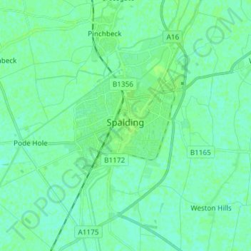
Nom : Carte topographique Spalding, altitude, relief.
Altitude moyenne : 4 m
Altitude minimum : 0 m
Altitude maximum : 8 m
Autres cartes topographiques
Cliquez sur une carte pour visualiser sa topographie, son altitude et son relief.
Shepeau Stow
United Kingdom > England > Lincolnshire > South Holland > Whaplode Drove
Altitude moyenne : 2 m
Holbeach Clough
United Kingdom > England > Lincolnshire > South Holland > Holbeach CP > Saracen's Head
Altitude moyenne : 4 m
Tongue End
United Kingdom > England > Lincolnshire > South Holland > Tongue End
Altitude moyenne : 2 m
Low Fulney Estate
United Kingdom > England > Lincolnshire > South Holland > Spalding
Altitude moyenne : 4 m
Spalding Marsh
United Kingdom > England > Lincolnshire > South Holland > Weston CP
Altitude moyenne : 4 m
Holbeach Marsh
United Kingdom > England > Lincolnshire > South Holland > Holbeach CP > Holbeach St Marks
Altitude moyenne : 4 m