
Carte topographique Tangmarg
Cliquez sur la carte pour afficher l’altitude.
À propos de cette carte
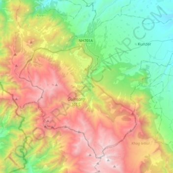
Nom : Carte topographique Tangmarg, altitude, relief.
Lieu : Tangmarg, Baramulla district, Jammu and Kashmir, India (33.90593 74.28389 34.12854 74.60424)
Altitude moyenne : 2 776 m
Altitude minimum : 1 612 m
Altitude maximum : 4 576 m
Autres cartes topographiques
Cliquez sur une carte pour visualiser sa topographie, son altitude et son relief.