
Carte topographique Champa
Cliquez sur la carte pour afficher l’altitude.
Champa
Champa has an average elevation of 253 metres (830 feet). It is located on the banks of Hasdeo river, a tributary of Mahanadi.
À propos de cette carte
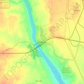
Nom : Carte topographique Champa, altitude, relief.
Altitude moyenne : 254 m
Altitude minimum : 231 m
Altitude maximum : 270 m