
Carte topographique Clarence Town
Carte interactive
Cliquez sur la carte pour afficher l’altitude.
À propos de cette carte
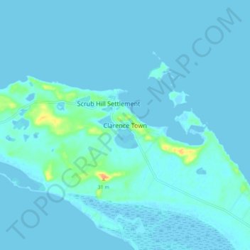
Nom : Carte topographique Clarence Town, altitude, relief.
Lieu : Clarence Town, Long Island, The Bahamas (23.05172 -75.00064 23.13172 -74.92064)
Altitude moyenne : 3 m
Altitude minimum : -3 m
Altitude maximum : 37 m