

Carte topographique Jajpur
Cliquez sur la carte pour afficher l’altitude.
Jajpur
Jajpur is located at 20°51′N 86°20′E / 20.85°N 86.33°E / 20.85; 86.33 and has an average elevation of 8 metres (26 ft). The climate of Jajpur District is normal as per Indian standards. All the seasons arrive in the District at their usual time. The District's average height from the sea level is 331 m and its average rain fall is 1014.5 mm. The average maximum and minimum temperatures are 40 degree C and 10 degree C respectively. Overall, the climate of the District is neither hotter nor cooler. The summer season is from March to June when the climate is hot and humid. Thunderstorms are common at the height of the summer. The monsoon months are from July to October when the town receives most of its rainfall from the South West Monsoon. The annual rainfall is around 1014.5 mm. The winter season from November to February is characterised by mild temperatures and occasional showers.
À propos de cette carte
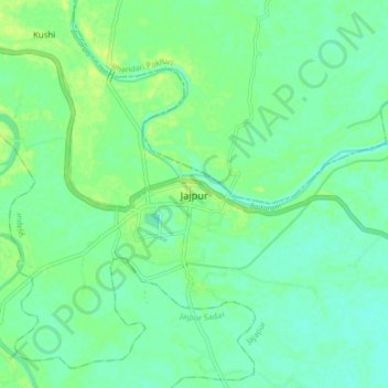
Nom : Carte topographique Jajpur, altitude, relief.
Lieu : Jajpur, Jajapur, Jajpur District, Odisha, 755001, India (20.81227 86.29857 20.89227 86.37857)
Altitude moyenne : 14 m
Altitude minimum : 7 m
Altitude maximum : 24 m