
Carte topographique 東京湾
Carte interactive
Cliquez sur la carte pour afficher l’altitude.
東京湾
The shoal between Cape Futtsu in Chiba Prefecture and Cape Honmaku in Yokohama is known as Nakanose, and has a depth of 20 metres (66 ft). North of this area the bay has a depth of 40 metres (130 ft) and an uncomplicated underwater topography. Areas south of Nakanose are significantly deeper moving towards the Pacific Ocean.
À propos de cette carte
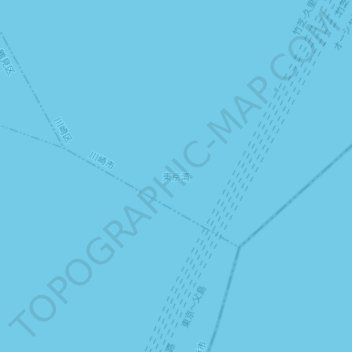
Nom : Carte topographique 東京湾, altitude, relief.
Lieu : 東京湾, Kawasaki Ward, Kawasaki, Kanagawa Prefecture, Japan (35.41685 139.77095 35.41695 139.77105)
Altitude moyenne : 0 m
Altitude minimum : 0 m
Altitude maximum : 0 m