Géolocaliser

Carte topographique Upper Level. Highest accessible level. You won't see Amy other visitors. Good place to take a swim.

Carte interactive

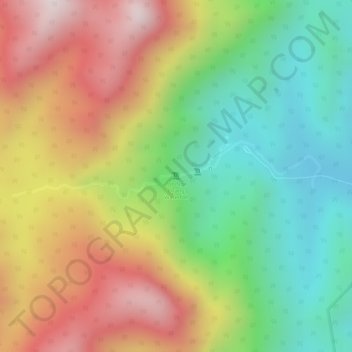
Cliquez sur la carte pour afficher l’altitude.

À propos de cette carte

Nom : Carte topographique Upper Level. Highest accessible level. You won't see Amy other visitors. Good place to take a swim., altitude, relief.

Lieu : Upper Level. Highest accessible level. You won't see Amy other visitors. Good place to take a swim., Songkhla Province, Thailand (6.94628 100.23023 6.94638 100.23033)

Altitude moyenne : 397 m

Altitude minimum : 81 m

Altitude maximum : 748 m

Autres cartes topographiques

Cliquez sur une carte pour visualiser sa topographie, son altitude et son relief.

Na Mom

Thailand > Songkhla Province

Na Mom, Ban Rai, Songkhla Province, 90310, Thailand

Altitude moyenne : 43 m

Tha Phraya

Thailand > Songkhla Province

Tha Phraya, Songkhla Province, Thailand

Altitude moyenne : 93 m

Hat Yai

Thailand > Songkhla Province

Hat Yai, Kho Hong, Songkhla Province, Thailand

Altitude moyenne : 47 m

Ban Phru

Thailand > Songkhla Province

Ban Phru, Ban Rai, Songkhla Province, 90230, Thailand

Altitude moyenne : 31 m