
Carte topographique Dingstede
Carte interactive
Cliquez sur la carte pour afficher l’altitude.
À propos de cette carte
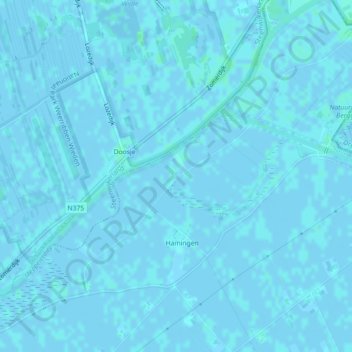
Nom : Carte topographique Dingstede, altitude, relief.
Lieu : Dingstede, Staphorst, Overijssel, Nederland, 7951KJ, Nederland (52.66728 6.13335 52.68728 6.15335)
Altitude moyenne : 0 m
Altitude minimum : -2 m
Altitude maximum : 3 m
Autres cartes topographiques
Cliquez sur une carte pour visualiser sa topographie, son altitude et son relief.
De Lichtmis
Nederland > Overijssel > Staphorst > De Lichtmis
De Lichtmis, Staphorst, Overijssel, Nederland, 7954 PK, Nederland
Altitude moyenne : 0 m