Géolocaliser

Carte topographique Anreperdiep

Carte interactive

Cliquez sur la carte pour afficher l’altitude.

À propos de cette carte

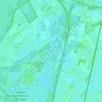
Nom : Carte topographique Anreperdiep, altitude, relief.

Lieu : Anreperdiep, Assen, Drenthe, Nederland, 9405TE, Nederland (52.95538 6.53869 52.96045 6.54130)

Altitude moyenne : 13 m

Altitude minimum : 10 m

Altitude maximum : 16 m

Autres cartes topographiques

Cliquez sur une carte pour visualiser sa topographie, son altitude et son relief.

Schieven

Nederland > Drenthe > Assen

Schieven, Assen, Drenthe, Nederland, 9404 TC, Nederland

Altitude moyenne : 13 m

Ubbena

Nederland > Drenthe > Assen > Ubbena

Ubbena, Assen, Drenthe, Nederland

Altitude moyenne : 10 m

Peelo

Nederland > Drenthe > Assen

Peelo, Leemveld, De Velden, Assen, Drenthe, Nederland, 9407GD, Nederland

Altitude moyenne : 13 m

Asserbos

Nederland > Drenthe > Assen

Asserbos, Centrum, Assen, Drenthe, Nederland

Altitude moyenne : 13 m

Assen

Nederland > Drenthe > Assen

Assen, Drenthe, Nederland

Altitude moyenne : 12 m