
Carte topographique Villa Verde
Carte interactive
Cliquez sur la carte pour afficher l’altitude.
À propos de cette carte
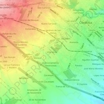
Nom : Carte topographique Villa Verde, altitude, relief.
Lieu : Villa Verde, Córdoba, Veracruz, 94570, México (18.86309 -96.96898 18.90309 -96.92898)
Altitude moyenne : 874 m
Altitude minimum : 788 m
Altitude maximum : 975 m
Autres cartes topographiques
Cliquez sur une carte pour visualiser sa topographie, son altitude et son relief.
Los Carriles
México > Veracruz > Córdoba > Córdoba > Los Carriles
Los Carriles, Córdoba, Veracruz, 94500, México
Altitude moyenne : 889 m