
Carte topographique Tai Mo Shan
Carte interactive
Cliquez sur la carte pour afficher l’altitude.
Tai Mo Shan
Tai Mo Shan is the highest peak in Hong Kong, with an elevation of 957 metres (3,140 ft) above the Hong Kong Principal Datum, or around 956 metres (3,136 ft) above mean sea level. It is located at approximately the geographical centre of the New Territories.
À propos de cette carte
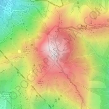
Nom : Carte topographique Tai Mo Shan, altitude, relief.
Altitude moyenne : 600 m
Altitude minimum : 147 m
Altitude maximum : 949 m