
Carte topographique Huamantla
Carte interactive
Cliquez sur la carte pour afficher l’altitude.
Huamantla
The municipality is located in the eastern half of the state of Tlaxcala, in the Central Mexican Highlands. It has an average altitude of 2,500 meters above sea level. The geography of the municipality has three types of relief. About twenty percent is rugged mountain (located in the far north and far south), about thirty percent is semi-flat (located I the north and south and over half which is flat, in the center. Its far south is part of the Malinche Volcano.
À propos de cette carte
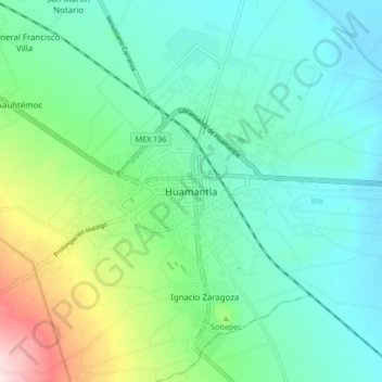
Nom : Carte topographique Huamantla, altitude, relief.
Lieu : Huamantla, Tlaxcala, 90501, Mexico (19.27343 -97.96302 19.35343 -97.88302)
Altitude moyenne : 2 519 m
Altitude minimum : 2 419 m
Altitude maximum : 2 835 m