
Carte topographique Stonewall
Carte interactive
Cliquez sur la carte pour afficher l’altitude.
À propos de cette carte
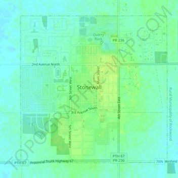
Nom : Carte topographique Stonewall, altitude, relief.
Lieu : Stonewall, Division No. 14, Manitoba, R0C 2Z0, Canada (50.12275 -97.34503 50.14507 -97.31026)
Altitude moyenne : 251 m
Altitude minimum : 245 m
Altitude maximum : 259 m
When the last ice age retreated, as well as the prairies, escarpments such as Riding Mountain were left behind. In addition to these, smaller elevations were left behind such as Stony Mountain and Stonewall. It is believed that these escarpments were used as look-outs by early hunters approximately 4,000 to 5,000 years ago. These formations were later used as buffalo jumps by the indigenous populations.