
Carte topographique Kwandang
Carte interactive
Cliquez sur la carte pour afficher l’altitude.
À propos de cette carte
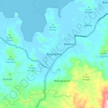
Nom : Carte topographique Kwandang, altitude, relief.
Lieu : Kwandang, Gorontalo Utara, Gorontalo, Sulawesi, Indonesia (0.75193 122.82601 0.83193 122.90601)
Altitude moyenne : 72 m
Altitude minimum : 0 m
Altitude maximum : 489 m