
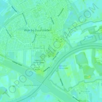
Carte topographique Kasteel Duurstede
Carte interactive
Cliquez sur la carte pour afficher l’altitude.
À propos de cette carte
Nom : Carte topographique Kasteel Duurstede, altitude, relief.
Altitude moyenne : 6 m
Altitude minimum : 1 m
Altitude maximum : 15 m
Autres cartes topographiques
Cliquez sur une carte pour visualiser sa topographie, son altitude et son relief.
Wijk bij Duurstede
Nederland > Utrecht > Wijk bij Duurstede
Wijk bij Duurstede, Utrecht, Nederland
Altitude moyenne : 5 m
Cothen
Nederland > Utrecht > Wijk bij Duurstede
Cothen, Wijk bij Duurstede, Utrecht, Nederland
Altitude moyenne : 5 m
Langbroek
Nederland > Utrecht > Wijk bij Duurstede
Langbroek, Wijk bij Duurstede, Utrecht, Nederland
Altitude moyenne : 7 m