
Carte topographique Pelham
Carte interactive
Cliquez sur la carte pour afficher l’altitude.
Pelham
From the top of the Fonthill Kame Delta hill, a unique topographical feature (Ontario Geological Society 1970) and ANSI protected site (Area of Natural Scientific Interest - ANSI) on a clear day it is possible to see Toronto, Hamilton and western New York state. At one time, a ski tow was installed on the north side of the Kame Delta Hill on what is now Lookout Point Golf and Country Club, but it was a commercial failure and no longer operates.
À propos de cette carte
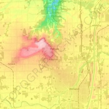
Nom : Carte topographique Pelham, altitude, relief.
Lieu : Pelham, Niagara Region, Golden Horseshoe, Ontario, Canada (42.96566 -79.39016 43.10865 -79.26739)
Altitude moyenne : 183 m
Altitude minimum : 94 m
Altitude maximum : 260 m