
Carte topographique Maasbracht
Carte interactive
Cliquez sur la carte pour afficher l’altitude.
À propos de cette carte
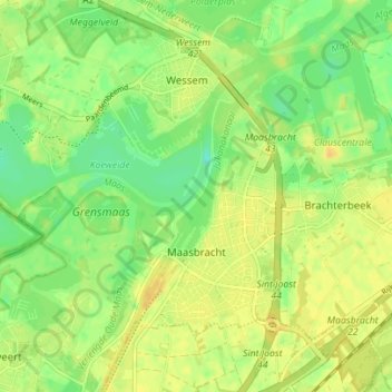
Nom : Carte topographique Maasbracht, altitude, relief.
Lieu : Maasbracht, Maasgouw, Limburg, Niederlande (51.13179 5.86077 51.16623 5.93039)
Altitude moyenne : 26 m
Altitude minimum : 11 m
Altitude maximum : 39 m
Autres cartes topographiques
Cliquez sur une carte pour visualiser sa topographie, son altitude et son relief.