
Carte topographique Zillertal
Carte interactive
Cliquez sur la carte pour afficher l’altitude.
À propos de cette carte
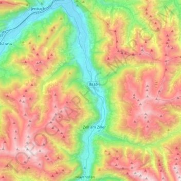
Nom : Carte topographique Zillertal, altitude, relief.
Lieu : Zillertal, Stumm, Bezirk Schwaz, Tyrol, Austria (47.16204 11.82069 47.40245 11.89802)
Altitude moyenne : 1 499 m
Altitude minimum : 520 m
Altitude maximum : 2 736 m