
Carte topographique Jhalawar
Carte interactive
Cliquez sur la carte pour afficher l’altitude.
À propos de cette carte
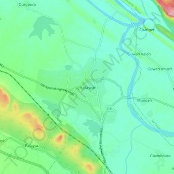
Nom : Carte topographique Jhalawar, altitude, relief.
Altitude moyenne : 319 m
Altitude minimum : 285 m
Altitude maximum : 432 m
Jhalawar is located at 24°36′N 76°09′E / 24.6°N 76.15°E / 24.6; 76.15. It has an average elevation of 312 metres (1023 feet).