
Carte topographique Denderbelle
Carte interactive
Cliquez sur la carte pour afficher l’altitude.
À propos de cette carte
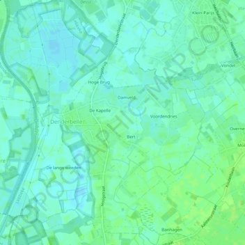
Nom : Carte topographique Denderbelle, altitude, relief.
Lieu : Denderbelle, Lebbeke, Dendermonde, East Flanders, Belgium (50.98575 4.07112 51.01659 4.11182)
Altitude moyenne : 4 m
Altitude minimum : -1 m
Altitude maximum : 10 m