
Carte topographique Uithoorn
Carte interactive
Cliquez sur la carte pour afficher l’altitude.
À propos de cette carte
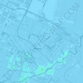
Nom : Carte topographique Uithoorn, altitude, relief.
Lieu : Uithoorn, Noord-Holland, Nederland (52.22711 4.79506 52.26102 4.85219)
Altitude moyenne : -2 m
Altitude minimum : -7 m
Altitude maximum : 3 m
Topografisch kaartbeeld van de gemeente Uithoorn, per september 2022
Autres cartes topographiques
Cliquez sur une carte pour visualiser sa topographie, son altitude et son relief.
De Kwakel
Nederland > Noord-Holland > Uithoorn
De Kwakel, Uithoorn, Noord-Holland, Nederland
Altitude moyenne : -2 m